The Monument’s Location
The Monument’s Location – The River Isar in Munich
The River Isar rises in the Karwendel Mountains and flows northwards through a varied and picturesque landscape. As far as the Mittenwald area, it remains largely untouched and retains much of its natural character. Further downstream, however, its course has been regulated and channelled in many places to protect surrounding settlements and land from flooding and to harness its hydroelectric power.
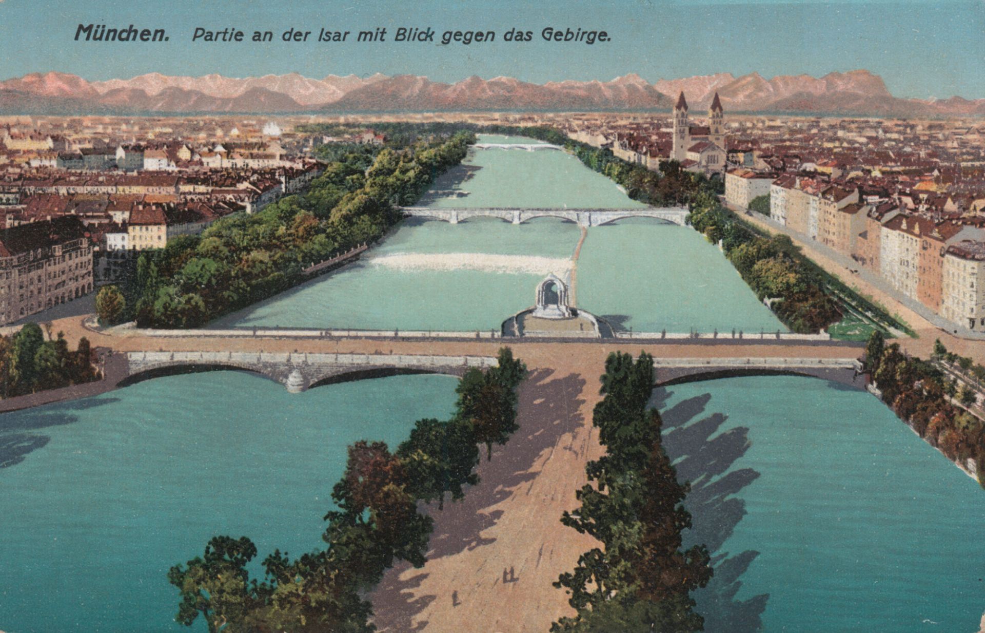
After travelling approximately 140 kilometres, the Isar reaches Munich, the capital of Bavaria. Here, extensive river restoration projects were completed by 2010, significantly enhancing the river and its surroundings. In particular, the stretch extending to the Cornelius Bridge was transformed through the natural landscaping of the riverbed and banks. The flood channel was developed into a spacious recreational area, now enjoyed by Munich residents and visitors alike.
The Great Isar and the Little Isar
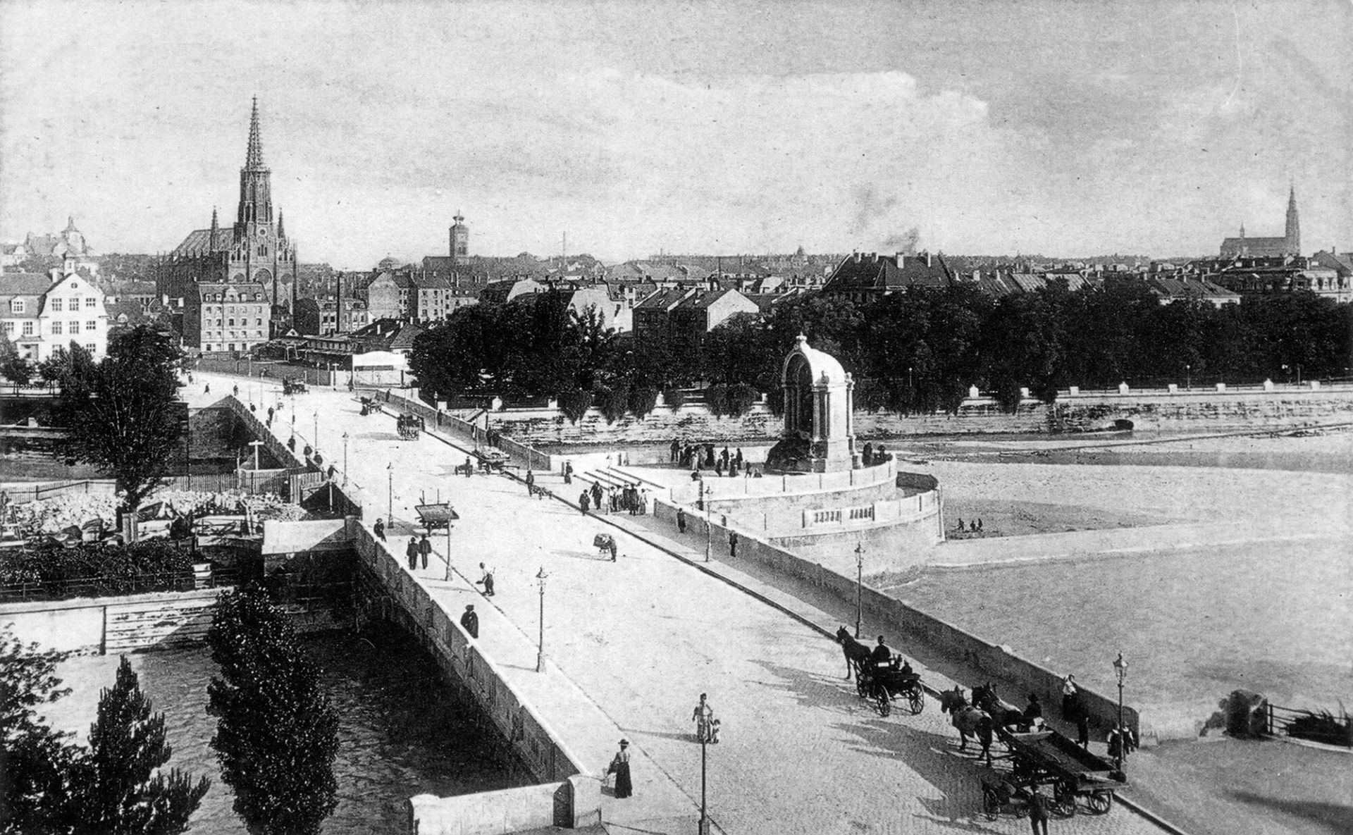
At the Cornelius Bridge, the river divides into two branches: the Great Isar (Große Isar) and the Little Isar (Kleine Isar). This division dates back to hydraulic engineering works carried out as early as the 17th century. Weirs were constructed primarily to maintain a sufficiently deep and safe navigable channel for timber rafting, which for centuries played an important economic role in Munich.
The bastion at the point where the river divides was built as part of the construction of the Cornelius Bridge in 1903. A few years later, it acquired special significance as the site of the monument to King Ludwig II. Thus, this prominent location in Munich’s riverside landscape became a fitting place of remembrance for the King of Bavaria.
To this day, the site brings together Munich’s urban history, the historic tradition of timber rafting and the memory of King Ludwig II in a particularly distinctive way.
Editorially revised with the assistance of artificial intelligence (AI).